
Heart of England
Day Walk (9 miles): National Forest - Rosliston, S Derbyshire
Saturday, 11th September 2021
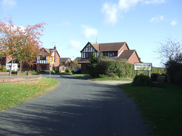
Meet outside Rosliston Village Hall, on Yew Tree Rd (left turn off Main St) for a 10.00am start to this 9 mile walk. Bring pack up.
Route: Nat Forest Way path to Netherseal, then west to Lullington, north to Coton and return to Rosliston.
Map: OS Explorer 245 National Forest. SK 245167
Directions:
From Leicester A511 (A50) past Ashby,
turn onto A514 Swadlincote to A444 junction, turn left, next junction at High Cross Bank, take road for Linton, then Rosliston.
Should be okay to park outside Village Hall.
Please let Mick know if you are thinking of joining us so that we can wait if you get held up.
Hope to see you there.
The National Forest comprises of 200 square miles of the Midlands. It spans parts of Derbyshire, Leicestershire and Staffordshire and aims to link the two ancient Forests of Charnwood and Needwood.
This information refers to a past event, check the programme for some events you can still go to.
- Distance:
- 9 miles / 14 km
- Organiser:
- Mick (Tel: 0116 2543536, Mob: 07399 600846)
- Grade:
- Moderate
- Map Ref:
- SK 242177
- OS Map:
-
Explorer 245: The National Forest
Burton upon Trent, Swadlincote, Ashby-de-la-Zouch & Coalville.
Buy a paper map Buy a laminated map -
Landranger 128: Derby & Burton upon Trent
Buy a paper map Buy a laminated map
-
Explorer 245: The National Forest
- Web Link:
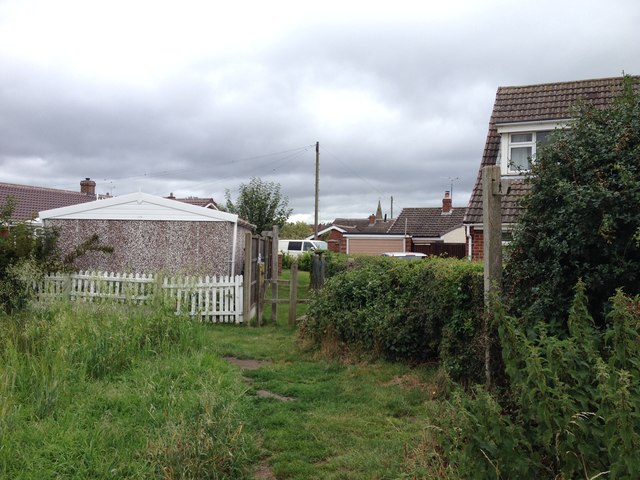
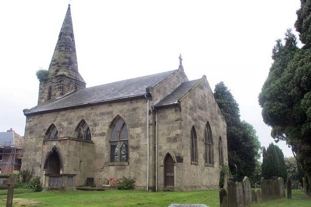
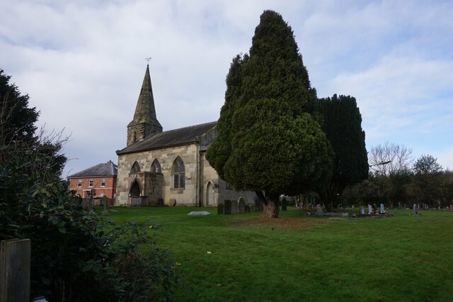
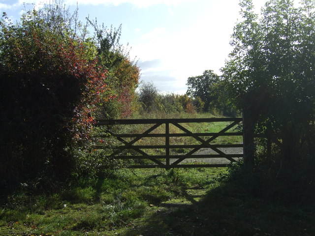
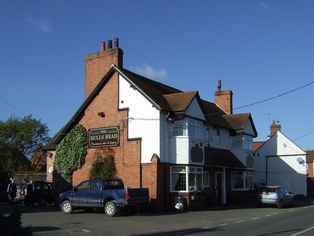
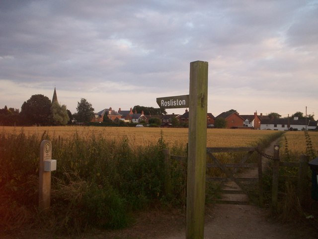
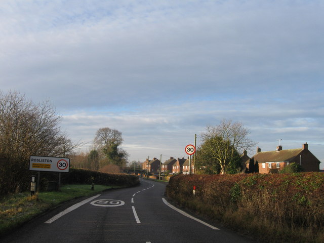
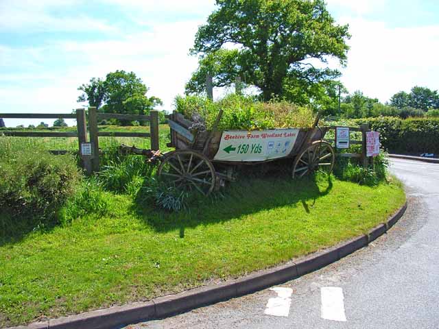
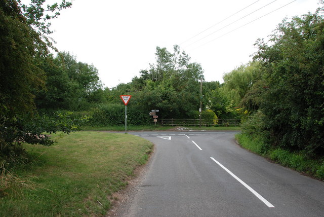
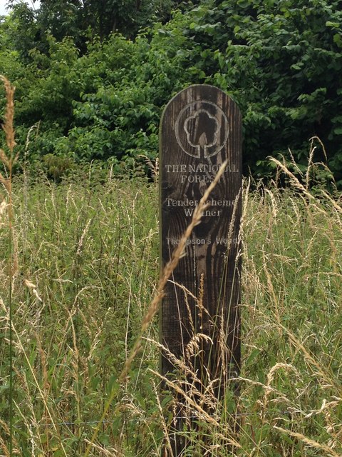
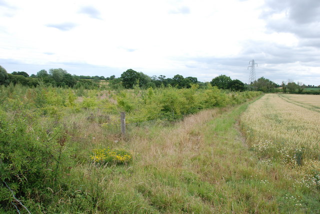
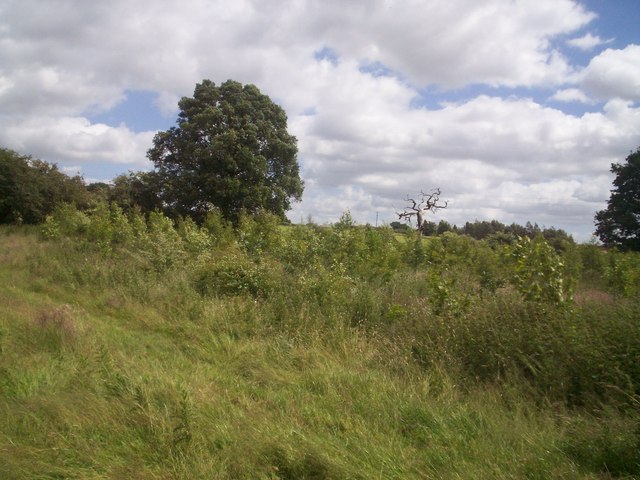
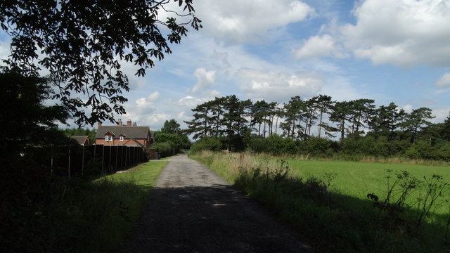
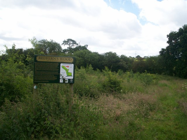
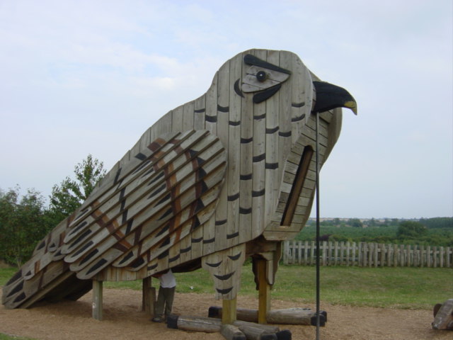
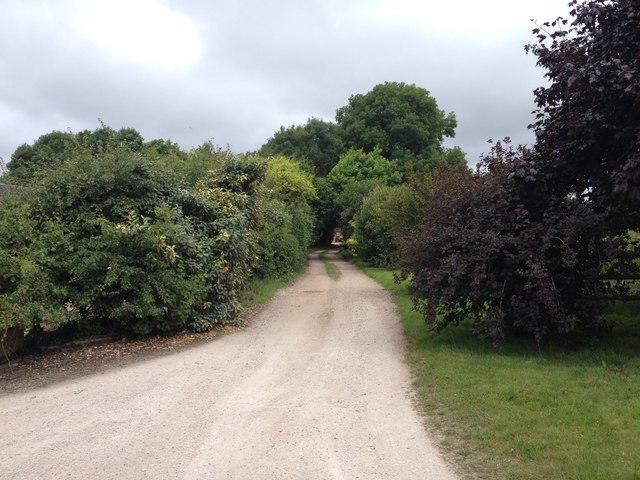
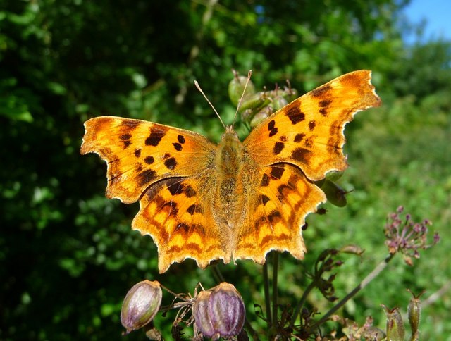
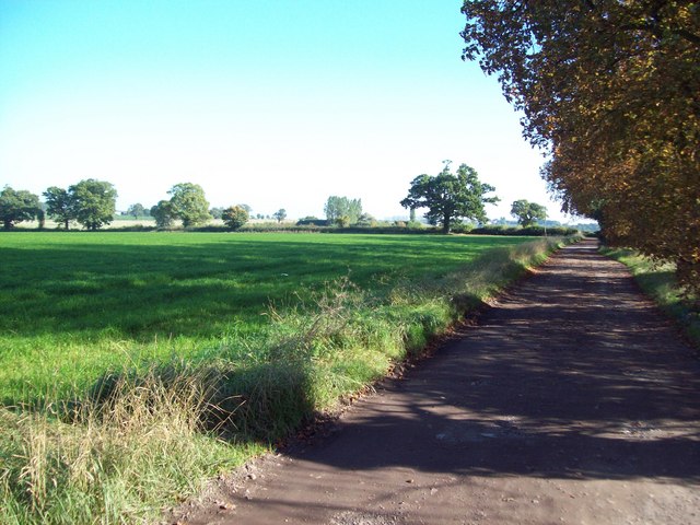
Local Pictures
All pictures courtesy of Geograph Britain and Ireland, under the terms of a Creative Commons BY-SA licence.


Find out more about day events...